 On the afternoon of March 17, 2011, at a point about 12 miles south of Carmel, all of the southbound lane and much of the northbound lane of the Cabrillo Highway (Hwy 1) were washed into the sea by a major landslide. The cause of the slide has been attributed to unusually heavy rains through the month of March. Efforts to stabilize the road, which would also provide one-lane passage through the slide area are predicted to take until Mid-May. Complete repairs are predicted to take a year (!).
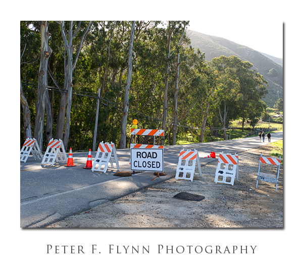
The sign and barricades shown above are located at the junction of the Cabrillo Highway and Palo Colorado Road near Notleys Landing – this is as far south as one can currently drive along the coast road. Coming from the south, the road is closed at the Bixby Creek Bridge. The image above was recorded at 08:50PST on April 10, 2011, using the Nikon D3s and the AF-S NIKKOR 24-70mm f/2.8G ED at 31mm. Exposure was f/11 and 1/40s, ISO 200. Coordinates at the site are 36 23.9564N, 121 54.2812W.
Close inspection of the image above reveals a small group of Sea Lions lounging on the rocks (lower right). This image was recorded on April 10, 2011, at around 9:15 PST, using the Nikon D3s and the AF-S VR Zoom-NIKKOR 70-300mm f/4.5-5.6G IF-ED at 70mm. Exposure was f/11.0 and 1/320s (+0.33 EV), ISO 200. Exposure was normalized using ACR 6.3. Coordinates of the capture site were 36 24.6968N, 121 54.8634W.
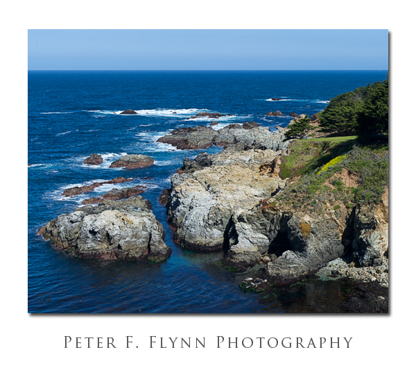
The image of the rocky California coast was recorded on April 10, 2011 at 09:30 PST, using the Nikon D3s and the AF-S VR Zoom-NIKKOR 70-300mm f/4.5-5.6G IF-ED at 70mm. Exposure was f/11.0 and 1/200s (+0.33 EV), ISO 200. Exposure was normalized using ACR 6.3. Coordinates of the capture site were 36 25.9749N, 121 55.1079W.
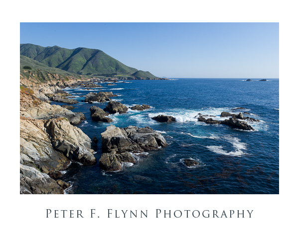
The image above, looking south towards Point Sur, was captured on April 10, 2011 at 14:00 PST, using the Nikon D3s and the AF-S NIKKOR 24-70mm f/2.8G ED at 28mm. Exposure was f/11 and 1/200s, ISO 200. Coordinates were 36 28.11378N, 121 55.96390W.
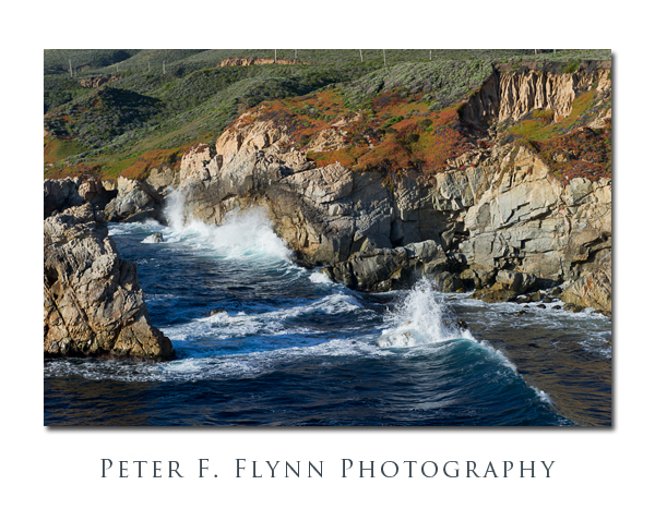 The image above was recorded at 17:00 PST on April 10, 2011, using the Nikon D3s and the AF-S NIKKOR 24-70mm f/2.8G ED at 62mm. Exposure was f/14 and 1/125s, ISO 200. The f-stop was selected to arrange a shutter speed of 1/125s, just about right to produce a natural rendition of the waves crashing on the coast headlands. Coordinates of the location were 36 27.36351N by 121 55.54688W.
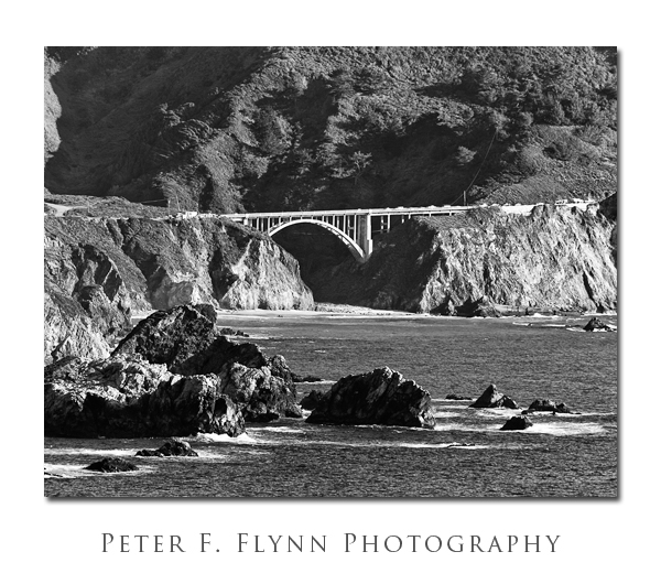
The BW image above shows the Bixby Creek Bridge. The source image was shot on April 10, 2011 at 14:40 PST, using the AF-S VR Zoom-NIKKOR 70-300mm f/4.5-5.6G IF-ED at 300mm. Exposure was f/8 and 1/250s, ISO 200. The (always present) haze made the color version of the image pretty weak, but I was able to boost the contrast using Nik Silver Efex Pro 2 to create a reasonable rendition. Close inspection reveals a number of vehicles parked on the bridge. Image recorded from coordinates 36 24.1745N by 121 54.5572W, which is just off of Hwy 1 above the Rocky Point Restaurant.
So, about the title of this entry…what ‘Best Luck’? The challenge of working the Big Sur coast has always been what to emphasize. Frankly, I’ve always thought that every inch of the place was just about as lovely as the next. Nevertheless, being the irrepressible adventurer, I cannot resist the urge to wander. The end of the road helped me to settle in and focus on the very photogenic northern section of the coast highway.
Excellent images of the washed out section of the Cabrillo Highway can be found here.
Copyright 2011 Peter F. Flynn. No usage permitted without prior written consent. All rights reserved.
