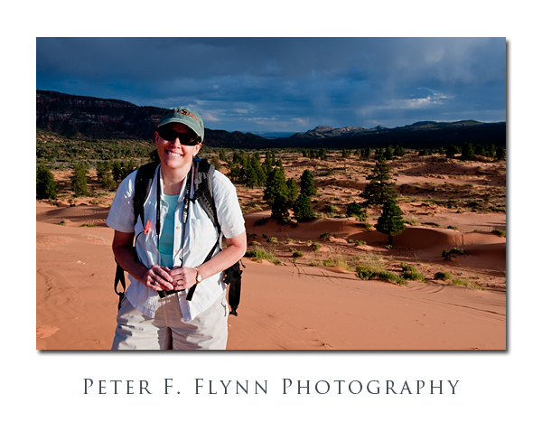
Yeah, so it’s 25 years for the scruffy dude and the princess… At some point you might just assume that you found the right person (or they found you), but it would not be a good idea to take it too lightly. Here’s the acid test… In the discussion of the location of the celebratory tour, I made the following suggestions – Alaska, Cairo (okay, maybe I threw that one in for myself), Hawaii, Polynesia, Paris & Rome. Where duyawanna go? ‘Somewhere south’, sez the HP. ‘Eh?’ ‘Hawaii then?’, sez me. ‘No, just somewhere nice in southern Utah’. Yep, I married up with the right gal.
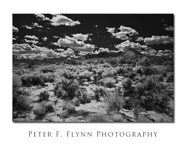
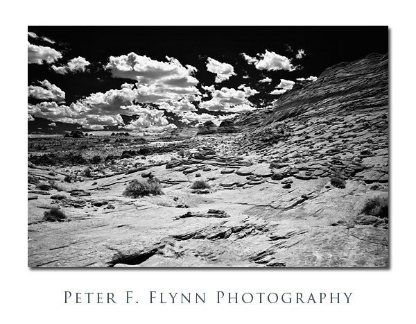
We decided to visit the Arizona Strip; which is the lovely region along Highway 89 between Kanab, UT and Page, AZ. The HP booked a couple of nights in Kanab and we were on our way. On August 25 – the official anniversary date – we slept in a little and then made a leisurely drive to the Wire Pass Trailhead. By the time we got going it was near noon – the perfect time of day for IR photography. The series of images in this entry were recorded on our exploratory hike to check out the route to the Wave (covered in a future entry). Whether or not you have a permit to entry The Wave proper, I can certainly recommend the hike – a uniquely spectacular route over sandstone ramps with only a little sand.
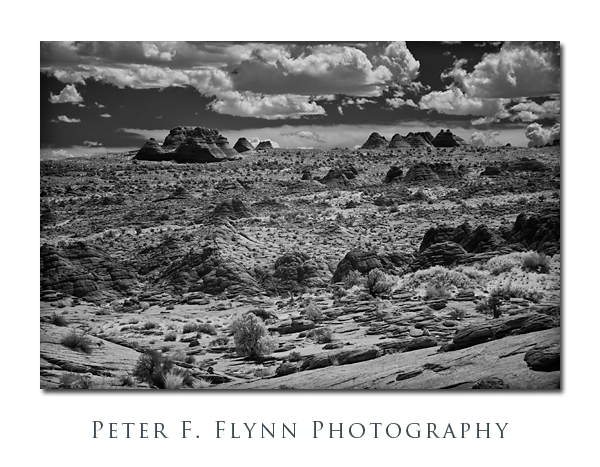 The formation lying along the horizon in the image above is known simply as The Teepees. They are outside of the special permit zones and may be visited at will. The characteristic pyramidal shape of The Teepees is typical of the Coyote Buttes geology.
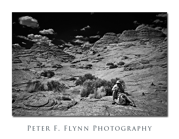
I don’t usually include people in IR images, but shot the image below anyway, thinking that the HP was looking particularly lovely in the near-IR. I was quite right, and I’m certain you’ll agree.
 The images in this post were recorded at around noon on August 15, 2009, using a Nikon D200 converted to IR capture – see the March 6, 2009 entry for more details.
