Posts Tagged ‘Dante’s View’

Panos of the DEVA

No, not that Deva…  Not the God, actually Gods, of Hindu mythology.  I mean DEVA, as in the four-letter Alpha Code (*) the National Park uses as an abbreviation of the full park name, Death Valley National Park.

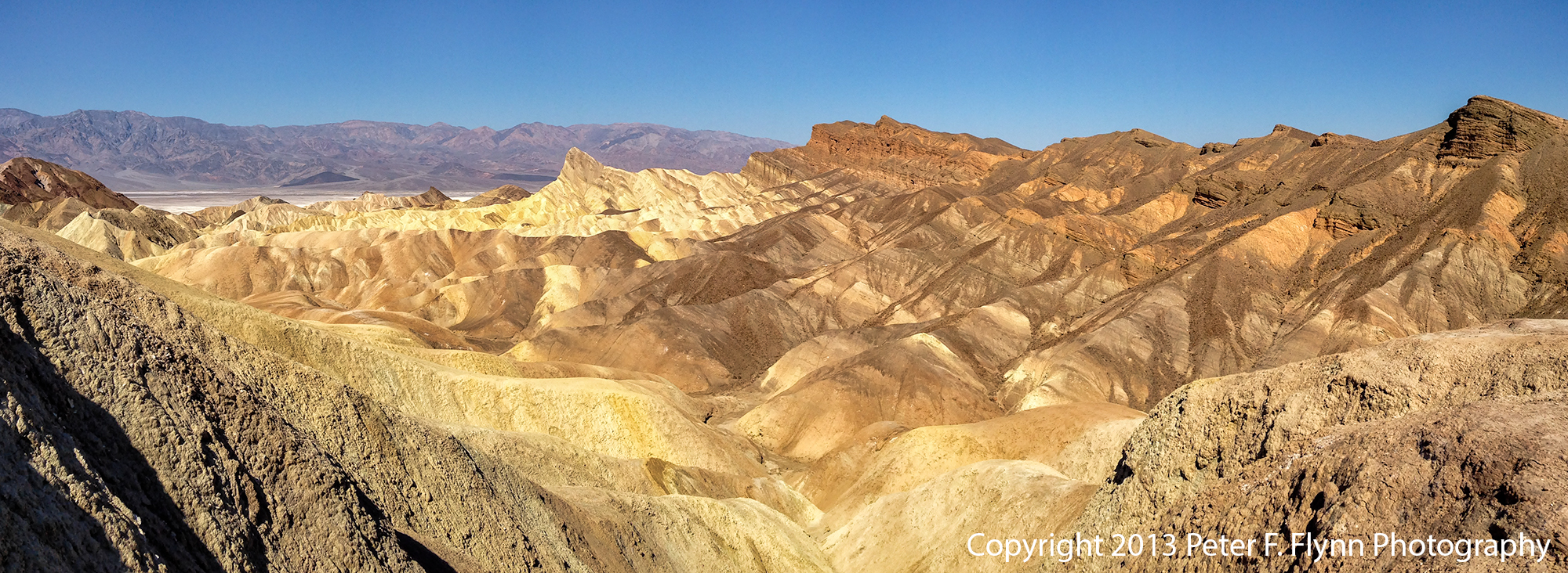
Please select the thumbnail to see the full pano…

Death Valley National Park

The pano above, of the HP at Dante’s Point, was recorded on March 24 at  9:00 PDT, using the iPhone5 (iP5).   Exposure was f/2.4 and 1/2500s, ISO 50.  I’m still getting used to these iP5 exposure stats…  Note that while this is not the best composition, it includes the HP, which is more than enough to recommend it as an excellent pano!

Death Valley National Park

The pano above of the Zabriske Point experience was recorded at 10:30 PST using the iP5.  Exposure was f/2.4 and 1/3400s, ISO 50.

Death Valley National Park

Right, so we began the day at Dante’s View, then back down Dante’s View Road to Furnace Creek Road, and further on to CA SR-190.  Then along SR-190 north past Zabriske Point, and then Furnace Creek.  Staying on 190, we headed west past Stovepipe Wells, then across the salt pan to Emigrant, and then Panamint Springs, finally stopping at Father Crowley Point/Vista.

The view from Father Crowley’s Vista, shown above, is definitely one of the best views in the park – it is relatively peaceful here, far from the madding crowd.  Images recorded at 13:00 PST.  This image is pas tout à fait prêt à porter – I’ll work it on luminance and contrast and repost ASAP…

Death Valley National Park

Father Crowley Vista was as far east as we traveled on this visit.  We then returned back along SR-190.  The image above, recorded at around 14:00 PST, was shot looking east from the east side of Panamint Springs.

Mesquite Flats Sand Dunes, Death Valley National Park

On the morning of March 25, we traveled from out hotel in Furnace Creek to Stovepipe Wells to shoot the Mesquite Flat Sand Dunes at sunrise.  The weather did not cooperate, and the sun was behind a heavy shield of clouds, but I managed to shoot the pano above.  Image recorded at 8:00 PST.

Devil's Golf Course, Death Valley National Park

Having been disappointed at Stovepipe, we headed back south towards Badwater.  Along the way we stopped at the Devil’s Golf Course, shown above.  Image recorded at 10:13 PDT.  The intermittently cloudy sky gave us a bit of drama in this shot.

Badwater Salt Flats, Death Valley National Park

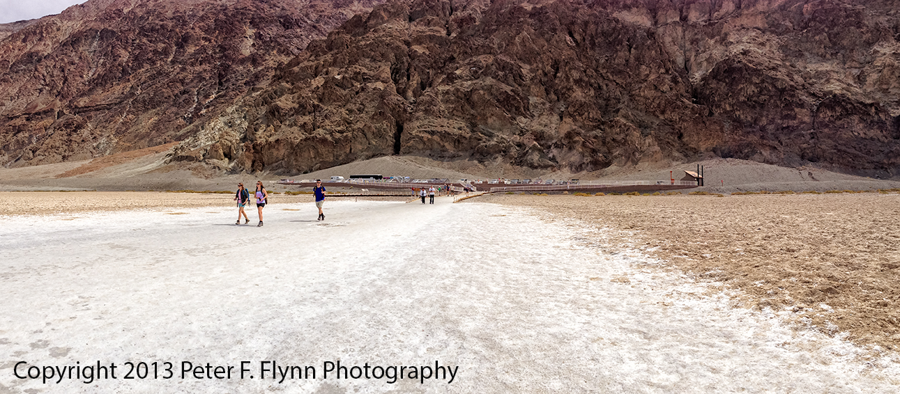
Continuing south along the Badwater Road, we reached Badwater Basin at around noon, see above and below.

Badwater Salt Flats, Death Valley National Park

(*) Alpha Codes for parks that have a single title name, like Yellowstone, are generated using the first four letters, e.g., YELL.  For parks with names consisting of two or more words, like Death Valley, the code is generated using the first two letters of the first two words in the name, e.g., DE + VA = DEVA.  BTW, unlike the Deva of Hinduism, which is generally benevolent, DEVA, as we have seen in this entry, is a hostile place for man and beast alike.  On the other hand, using YELL for something as cool as Yellowstone is a bit lame – we should use a tough name like STONE, as in ‘Yeah, I just got back from a week up in the STONE…’  Right, as usual, another discursive blog entry!

Feliz 5 de mayo!

Copyright 2013 Peter F. Flynn.  No usage permitted without prior written consent. All rights reserved.

Death Valley Diary: April 11, 2009

20090411

Clouds obscured the sunrise again, but the weather started to improve soon after, and continued improving throughout the day.  We packed up our gear and visited Zabriske Point at about mid-morning.  It’s quite as beautiful as advertised.

Zabriske Point

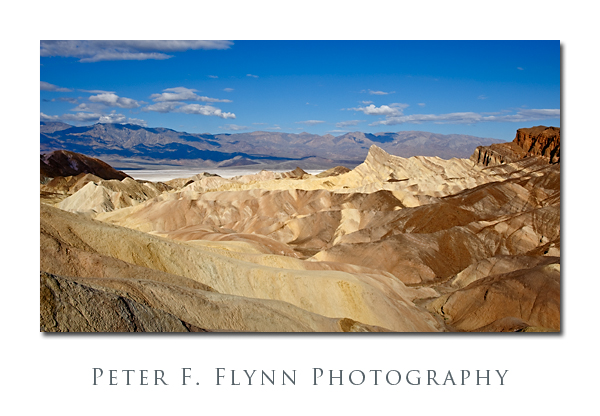
The image above was recorded on April 11, 2009, at about 08:45 PST using the Nikon D700 and the AF-S NIKKOR 24-70mm f/2.8G ED at 29mm.  Exposure was f/16 at 1/250, ISO 200.  Manly Peak is in the mid-range about a third of the way from the right, and in the background lies the Panamint Range.

So, here we are at Zabriske Point…  We could make a grand fuss over how intimidated we might be by either the location, or the legacy of famous shooters who have defined the classic impression of it.  Nope.  There is still plenty of opportunity to make a contribution to the shared vision of even the most well-recognized locations/images.  Of course you’ve seen images of the place all over: Two of the most notable might be from the cover of the U2 album Joshua Tree (weirdly…  Dude, it’s not frackin’ Joshua Tree!) and that movie by Michelangelo Antonini…  No matter, shoot.

Zabriske Point

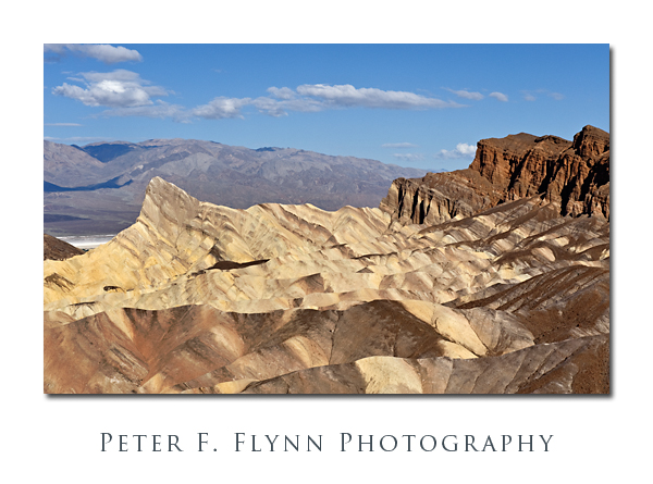
The image above was recorded on April 11, 2009, at about 09:00 PST, using the Nikon D700 and the AF-S NIKKOR 24-70mm f/2.8G ED at 66mm.  Exposure was f/16 at 1/400, ISO 200.

By now I’m certain you are wondering, ‘But where’s the HP?!!!’  Nearby as always of course, as you can see below.

The HP Celebrating Rights at Zabriske

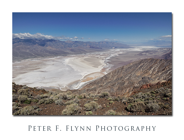
After a brief stay at Zabriske Point we headed up to Dante’s View.  This is without exaggeration one of the most impressive viewpoints on the planet.  The image below was recorded on April 11, 2009, at 10:00 PST, using the Nikon D700 and the AF-S NIKKOR 24-70mm f/2.8G ED at 24mm.  Exposure was f/16 at 1/640s, ISO 200.

Dante's View

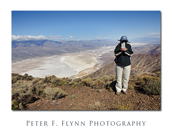
If you visit in the spring, be prepared for the fact that you have most probably driven from the valley floor at sea level to ~5500 ft above sea level – it’s both windy and chilly!  Most impressive are the girls in little more than bathing attire casually strolling around in 50F with not less than 20 knots of southerly breeze.  I see that you doubt my comments – okay, well have a look at the HP (below) – still think it’s balmy and +70F?!!!

HP on Ice at Dante's View

From Dante’s View is there is only one way – down.  Down to the road that runs south from Furnace Creek to Badwater and beyond.  Along the way we passed several remarkable sites, including: Devil’s Golf Course – in spite of the corny name, do not miss this; Badwater; Artists Drive, including Artist’s Palette – a beautiful juxtaposition of mineral colors; and Golden Canyon – a beautiful canyon with an optional outlet to Zabriske Point.

The digs here at Furnace Creek are significantly more posh than those we found at Stovepipe Wells.  Along with this discovery we also found where most of the people stay.  Nevertheless, the technological sophistication remains in the darks ages: No cell service, no real network access, etc. So, I have to do is write this entry and plan for tomorrow – not too shabby actually.