In this entry we’ll raid the archives again… In fact I’m trying to challenge myself to review some older images with the purposes of 1) simple rescue; and 2) keep me on a tighter processing schedule. Thus for the next few weeks at least, I’m trying to move a few things from the archives to the main view port.
Reviewing archival images is important. It helps provide an essential sense of momentum (or lack thereof) in our work. Are we evolving/progressing? Are we heading in the right direction for improving our capture *and* our processing? Right now I’m focusing on capture issues, and I’ve become increasingly confident that my best images have been recorded during well-defined photographical missions. Often we visit a particular location many times before I get the elements close enough to the target to be satisfied with the results. Other times I have managed to get a few keepers on a wander or first visit to a place, but even then, most often my favorite images are those which I have imagined beforehand.
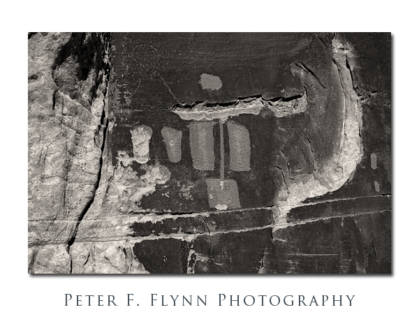
One of my favorite mission targets has been ancient rock art. I find the kooky symmetry of using state-of-the-art digital format to capture ancient art challenging and intriguing. I also find that locations at which the most outstanding rock art are found possess an oddly compelling atmosphere – read that spookiness. There are many excellent examples of rock art on the Colorado Plateau, and among the most curious of these is found along the Comb Ridge in southeastern corner of Utah, at a site known simply as the Procession Panel.
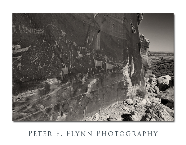
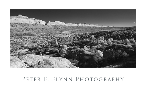
The image above shows the entire Procession Panel. It’s quite large, perhaps 40 ft from eastern to western edges.
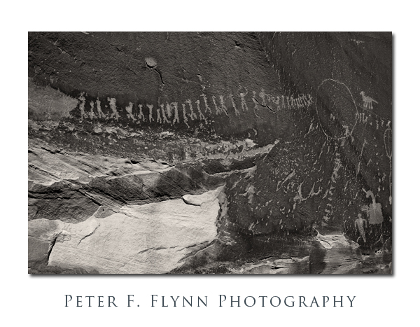
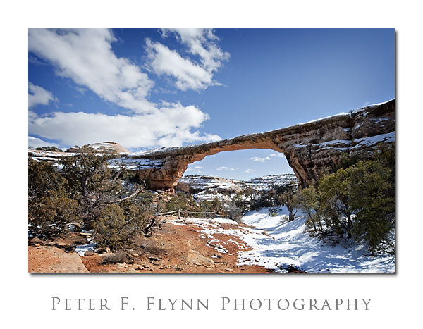
The image above includes the characteristic feature of the panel, which is a grand procession of individual figures. Remarkable. One cannot help but speculate on the meaning of this glyph.
Images in this gallery were recorded on at around 16:00 MDT on May 26, 2006, using the NIKON D70s and the AF-S DX Zoom-NIKKOR 18-70mm f/3.5-4.5G IF-ED lens at a variety of focal lengths. Yeah, these images have been squirreled away for quite some time. I rediscovered them recently while doing some retro keywording. This was the first digital camera setup I owned, and I haven’t used it in years. While it is certainly true that the technology has improved in the past 5 years, this system remains remarkably competent.
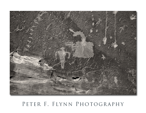
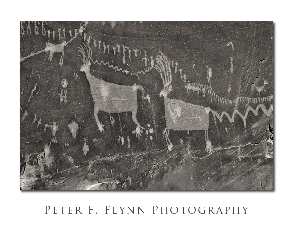
The image above includes one of the major features of the panel, which is a large rendering of two sheep. At the hind end of the sheep there is a large snake, drawn in the characteristical form of the region – feel free to speculate about this placement, as it is anyone’s guess. Note that the procession of figures continues all the way across the top of the other glyphs.
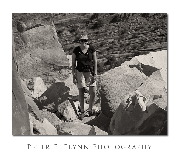
Finally, below, I include a glyph of the most intrepid HP.
I include my notes from the visit below:
May 26, 2006. Visited Procession Panel and Sand Island Panel in San Juan County Utah. Brilliant sun with high winds, e.g., enough breeze to blow the tripod over. Cryptic route descriptions from Tassoni did not defeat the effort to locate these excellent panels. Procession is as pristine a panel as I have thus far seen, owing without doubt to its location. Sand Island is sadly much abused, but retains enough of its nearly unparalleled glory to remain a marvel.
Copyright 2011 Peter F. Flynn. No usage permitted without prior written consent. All rights reserved.
