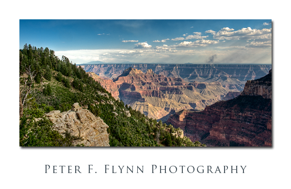
The Transept Trail runs westward from the North Rim Lodge into Transept Canyon – all at the north rim of the Grand Canyon. So, what’s a transept? Right, properly-speaking it’s the part of classical cruciform Christian church architecture that crosses between the nave and sanctuary, but in this case the term must be used in a generical form to indicate a minor corridor that crosses or emanates from a more significant space. Anyway, it’s a lovely walk in the trees, with strategical view points dotting the path. Note the smoke from a fire on the south rim – look along the horizon about 1/3 from the right edge. Near sunset, the shadows creep into Transept Canyon well before the sun actually dives below the horizon – a perfect test of HDR techniques.
The image above was recorded on July 17 at about 18:00 MST, using the Nikon D700 and the AF-S NIKKOR 24-70mm f/2.8G ED at 31mm. The seven images used to generate the HDR image were recorded f/16 at 1/80s (0 EV), 1/640s (-3 EV), 1/320s (-2 EV), 1/160s (-1 EV), 1/40s (+1 EV), 1/20s (+2 EV), and 1/10s (+3 EV). The HDR image was generated using Photomatix Pro 3.1, with tone mapping conducted using the detail enhancer mode with the following settings:
Luminosity: 0
Strength 95
ColorSaturation: 46
WhiteClip: 0.249450
BlackClip: 0.000000
Smoothing: Very High
Microcontrast: 6
Microsmoothing: 2
Gamma: 1.000000
HighlightsSmoothing: 0
ShadowsSmoothing: 0
ShadowsClipping: 0
ColorTemperature: 0
SaturationHighlights: 0
SaturationShadows: 0
Additional processing was conducted using ACR 5.4 to adjust Recovery, Blacks, Clarity and Vibrance – and eliminate a few dust spots; and Photoshop to increase contrast and to enhance detail in the clouds using the ‘Overlay move’.
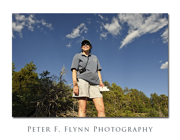
Oh, I nearly forgot. Below, I include a shot of the HP enjoying the view over Transept Canyon:
This is the first use of the Nikon GP1 GPS encoder: The coordinates of the site were recorded as follows:
Latitude: 36,12.1678N
Longitude: 112,3.561W
Altitude: 2493.00 m (8179 ft)
Time Stamp: 7/18/2009, 12:45 AM
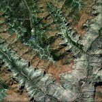
Click on the thumbnail below for a Google Earth view of the location:
The GP1 works very well – if you start it up before you begin composing and checking exposure, etc., it locates satellites just about the time the first exposure is recorded.
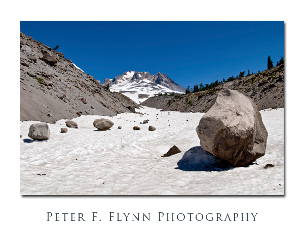
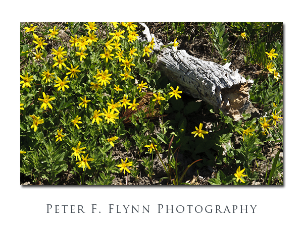 The image above, of a bed of
 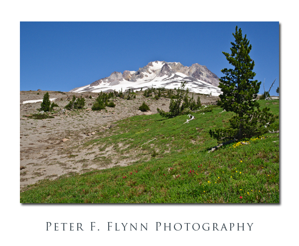 The image above, of a small meadow, was recorded at 14:00 PST using the Nikon D300 and the AF-S DX NIKKOR 16-85mm f/3.5-5.6G ED VR at 26mm. The exposure was f/16 at 1/160s, ISO 200. The shot was made hand-held, ’cause I didn’t think I would be able to do much with the image given the time of day.