A bit of drama at Death Valley… After leaving the Devil’s Golf Course area on April 11, we headed to the Natural Bridge trailhead – no kidding, the bridge is named ‘Natural Bridge’. I suppose that they were saving their poetic energies for some other bridge? Anyway, we arrive at the parking lot only to discover that…WAH!!! A tripod is missing. And not just any tripod, friends, ‘the tripod’, as in FrankenPod II, Son of FrankenPod. It got left behind at the Devil’s Golf Course! We race back to the Course to find that it’s gone, of course. Gads.
The HP sez let’s head down the road and see if we can find any of the people that were at the parking lot – maybe one of them saw that you left it, and snagged it for safekeeping. If anyone out there wonders after the source of my apparent limitless optimism, you needn’t ponder any further… Okay, whatever – a 0.1% chance at best. So, we’re off down the Badwater Road to the next stop – Badwater. Pulling in, the HP sees a truck that she recognizes and decides to stake it out in hopes of interrogating the occupants. This is just too desperate for the dude. I’m taking a stroll westward to the end of the beaten path, contemplating the loss of FrankenPod. I’m heading back when I spies the HP jogging toward me – right, she found out who snagged the pod and so we gotta go find them – but wait, nope, she’s way more excited than that – and by now I see that the HP is holding none other than FrankenPod!!! Seems these two lovely old birds recognized that it was a sweet pod and swept it up with the plan to turn it into the lost & found somewheres. Anyway, the HP got it. Yeah, this is why we have the HP. Awesome!
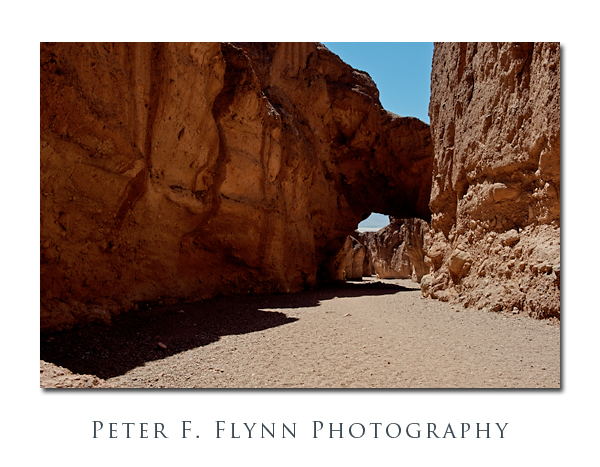
With the tripod to beat all other tripods returned, we headed back to the natural bridge. I decided to change the name to a more fitting appellation; which is ‘Two Lovely Old Birds Bridge’, in honor of the grand dames who saved the pod – No, that’s too long, we’ll name it ‘Two-Birds Bridge’. The bridge itself is pretty modest, but definitely worth a visit.
The image at the top of the entry was recorded on April 11, 2009 at about 12:45 PST, using the Nikon D700 and the AF-S NIKKOR 24-70mm f/2.8G ED at 35mm. Exposure was f/16 with a shutter speed range covering 6 EV. The tone-mapped HDR image was converted into tif format using Photomatix Pro 3, and blended (30%) with an exposure-blended version of the image. I’ve noticed that the rendering on this image is unusually monitor-dependent – I may lighten this a bit more.
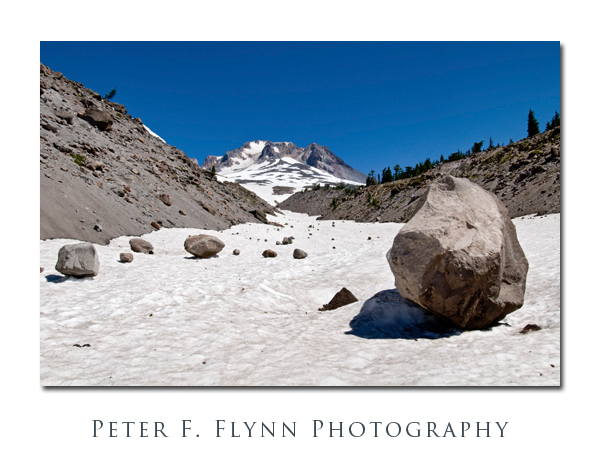
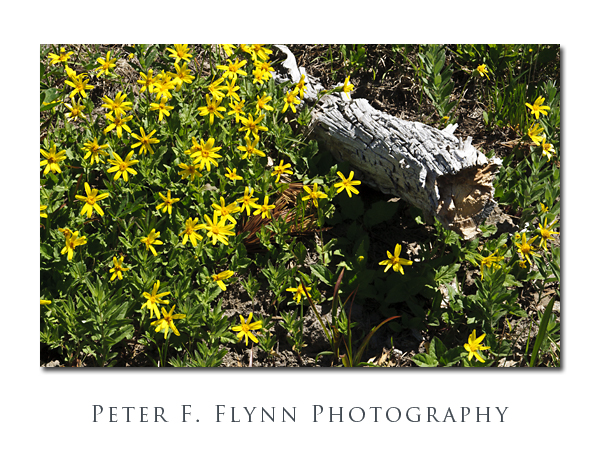 The image above, of a bed of
 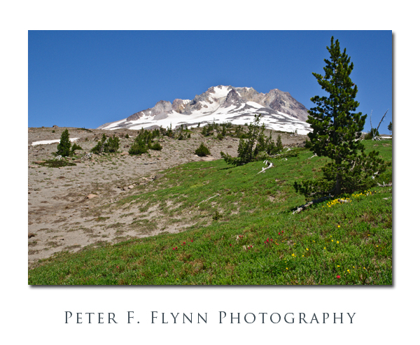 The image above, of a small meadow, was recorded at 14:00 PST using the Nikon D300 and the AF-S DX NIKKOR 16-85mm f/3.5-5.6G ED VR at 26mm. The exposure was f/16 at 1/160s, ISO 200. The shot was made hand-held, ’cause I didn’t think I would be able to do much with the image given the time of day.