 A visit to Rainbow Bridge National Monument is one of those trips that proves the adage about the journey being as important as the goal. To be sure, it does take a bit of commitment to get to the Bridge, e.g., a five-hour, 50 mile, boat trip over Lake Powell, but it is a day that will fill your skull with most excellent memories.
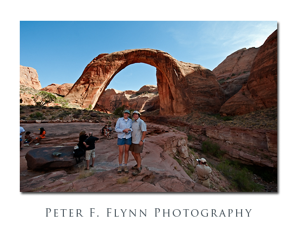
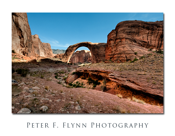
The bridge is 294 feet high, measured from the base to the top of the span, and 275 feet wide. The top of the span is 45 feet thick and 33 feet wide. One of world’s largest natural spans is thus curiously massive. Recall that bridges are distinct from arches in that bridges are formed by the action of flowing water, in this case carving out Navajo Sandstone. The bed of the ancient river that formed the bridge is still very apparent, but in recent history the only significant water that you might find in it comes from the (sometimes) rising waters of Lake Powell.
The composite, highly processed, HDR image above was recorded at approximately 16:45 MST on August 28, 2009, using the Nikon D700 and the AF-S NIKKOR 14-24mm f/2.8G ED lens at 19mm (FX). Exposure was f/16, and shutter speeds to cover 4 EV. Two source images were generated using Photomatix Pro 3.2.7: one was created using the Tone Mapping method, and the other generated using on Detail Enhancer method. The two images were blended together using Photoshop CS4. My goal was to generate a final image that captured the sense of magic about the place, and for this reason I allowed the fanciful, illustrative feel of the Detail Enhanced HDR image to show through a bit. GPS coordinates at the position where the images were recorded were 37,4.7403N, 110,59.9628W. GPS positions in this entry were all made using the Nikon GP1, which pretty much lives on the D700.
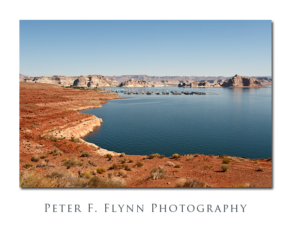 The image above, of Wahweap Marina at Lake Powell, was recorded at 10:43 MST, using the Nikon D700 and the AF-S NIKKOR 24-70mm lens at 44mm. Exposure was f/16 at 1/125s, ISO 200. Coordinates were 36,58.485N, 111,29.3835W.
We began our trip to Rainbow Bridge out of Wahweap Marina aboard the Desert Shadow. There are both all-day and half-day cruises to the Bridge, and we opted for the half-day afternoon adventure that left at 12:30 and returned at ~18:00 (MST). It’s not inexpensive at over $120 per person, but it is a good value. You can also hike to the Bridge, but it is a long trip (+10 miles), and you are required to obtain a permit from the Navajo Nation.
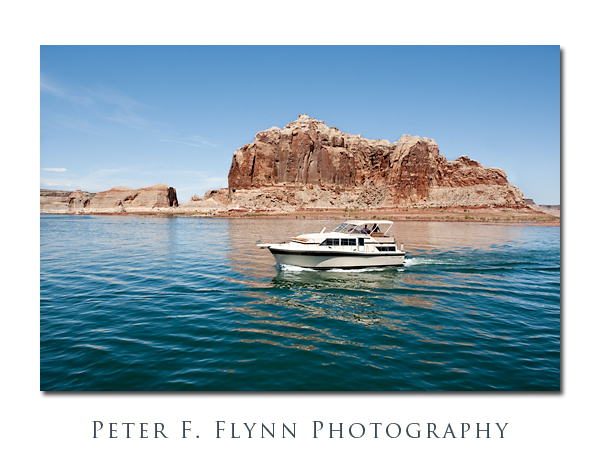 The image above was recorded at 13:40 MST, using the Nikon D700 and the AF-S NIKKOR 24-70mm f/2.8G ED lens at 24mm. Exposure was f/16 and 1/250s, ISO 400. Coordinates were 37,0.4536N, 111,27.4542W.
The boat trip itself is terrific. The weather is reliably beautifully warm and dry, and the speed of the boat generates a lovely breeze on board. The rock formations along the former course of the Colorado River are stunning, and constantly changing. I could recommend the cruise alone.
At buoy 49 the boat ducks into the narrow and winding Forbidding Canyon, that leads in about 2 miles to a large floating courtesy dock that is maintained by the NPS. The dock connects to dry land about 2 miles from the Bridge.
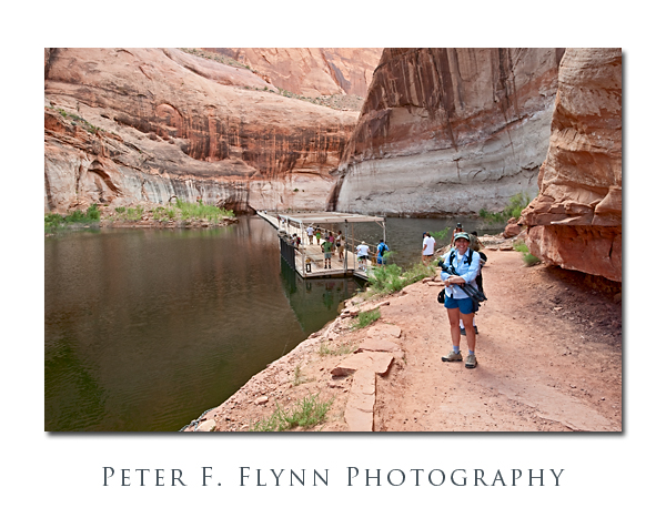 The image above of the HP about to traverse between the Rainbow Bridge trail and the boat dock, was recorded at 17:00 MST, using the Nikon D700 and the AF-S 14-24mm f2.8G ED lens at 22mm. Exposure was f/16 at 1/50s, ISO 800. Coordinates were 37,4.7644N, 110,58.0831W.
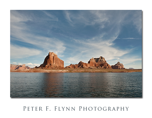 The image above, of Dominguez Butte and the Crossing of the Fathers, was recorded on August 28, 2009, at 18:20 MST, using the Nikon D700 and the AF-S NIKKOR 24-70mm f/2.8G ED at 24mm. Exposure was f/11 at 1/500 and ISO 400. Coordinates were 37,2.3442N, 111,17.2227W. This image was recorded late in the afternoon on the return trip to Wahweap Marina – beautiful light. It would be nearly impossible to tell at the scale at which the image is rendered, but the moon lies just a bit above dead-center.
And finally, here’s an image of the HP and the Dude, near a rainbow turned to stone.
An NASA image of Rainbow Bridge National Monument taken by the Iknonos satellite appears below:
Copyright 2010 Peter F. Flynn. No usage permitted without prior written consent. All rights reserved.
